BEL APPART LE CANNET.COM
--------------------------------------------------------------------------------------------
RENTAL OF FURNISHED APARTMENTS
IN THE CITY OF CANNET
Belappartlecannet.com
Do you want to discover the most beautiful landscapes of the French Riviera?
The ones that make you dream?
Here's a selection of the most beautiful places in the Alpes-Maritimes just for you.
The Colorado of the Alpes-Maritimes...
The Cians Gorges and the Daluis Gorges are true masterpieces of nature and rank among the most spectacular scenic drives in the hinterland of the Alpes-Maritimes.
They are often associated with one another because together they form a magnificent circular route starting from the Var Valley, although each has its own distinctive character.
For several kilometres, you will travel through a spectacular landscape dating back to the Paleozoic Era, with a remarkable diversity of wildlife, plant life and geological formations, recognised and protected as a Regional Nature Reserve.
Two gorges close to one another, yet very different.
Although their magnificent red rocks give them a certain resemblance, the experience is quite different in each gorge.
The Cians Gorges are more intimate and enclosed. The road winds deep between the cliffs, giving you a real sense of the power of the erosion caused by the mountain stream.
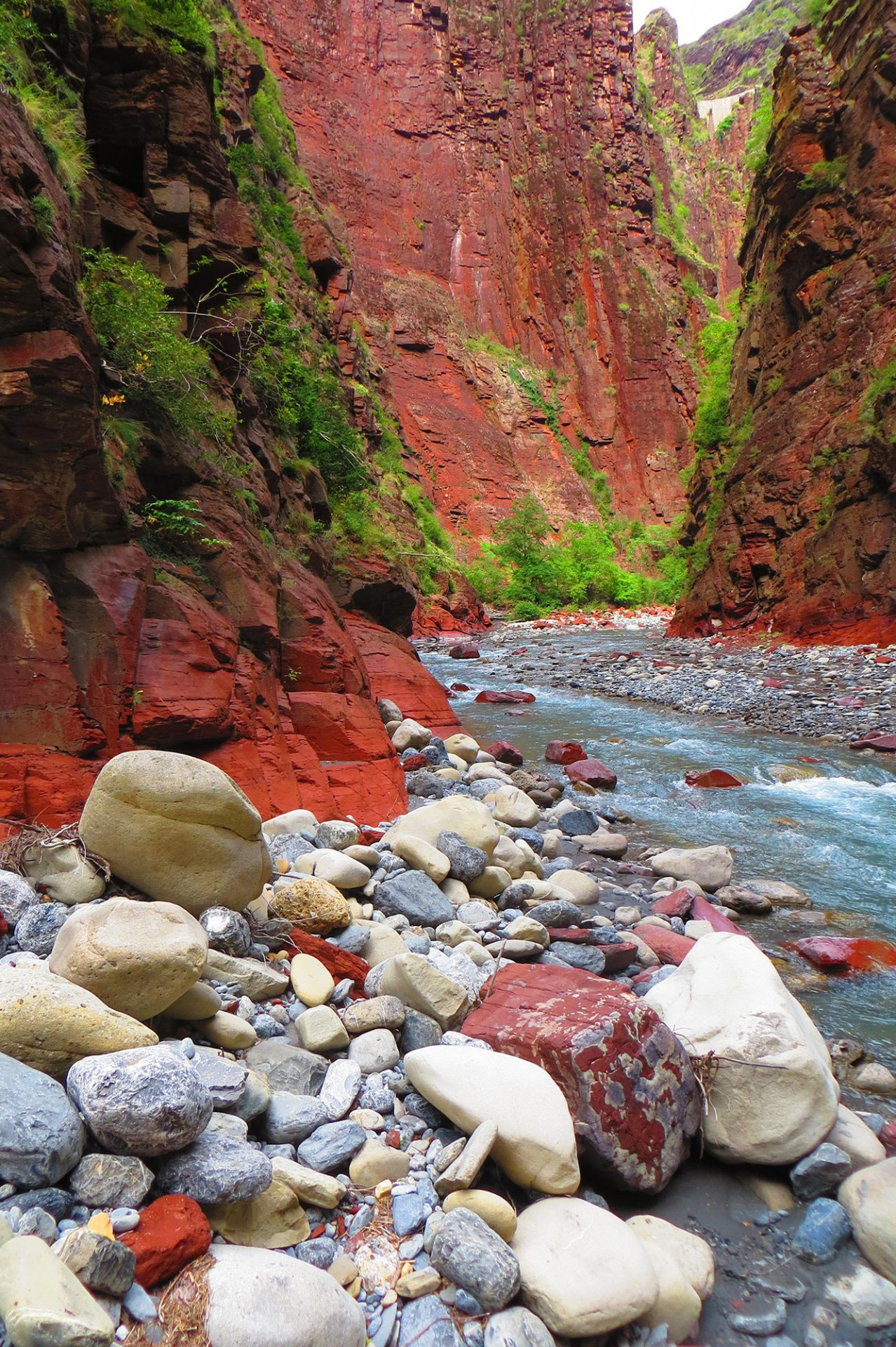
The Daluis Gorges are more spectacular and vertiginous. The views open up considerably, allowing you to admire the Var River far below, at the bottom of the immense red canyon.
This is precisely why it is particularly worthwhile discovering both gorges in the same day.
A Magnificent Scenic Driving Route
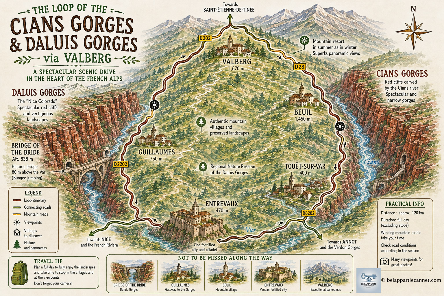
From the French Riviera, you can enjoy a particularly scenic circular drive via Touët-sur-Var → Gorges du Cians → Beuil → Valberg → Guillaumes → Gorges de Daluis → Entrevaux, before heading back down the Var Valley.
The Cians Gorges are located north of Touët-sur-Var, along the road leading towards Beuil and Valberg. Over thousands of years, they were carved out by the Cians, a mountain stream that rises in the heights of the Mercantour before flowing into the Var River.
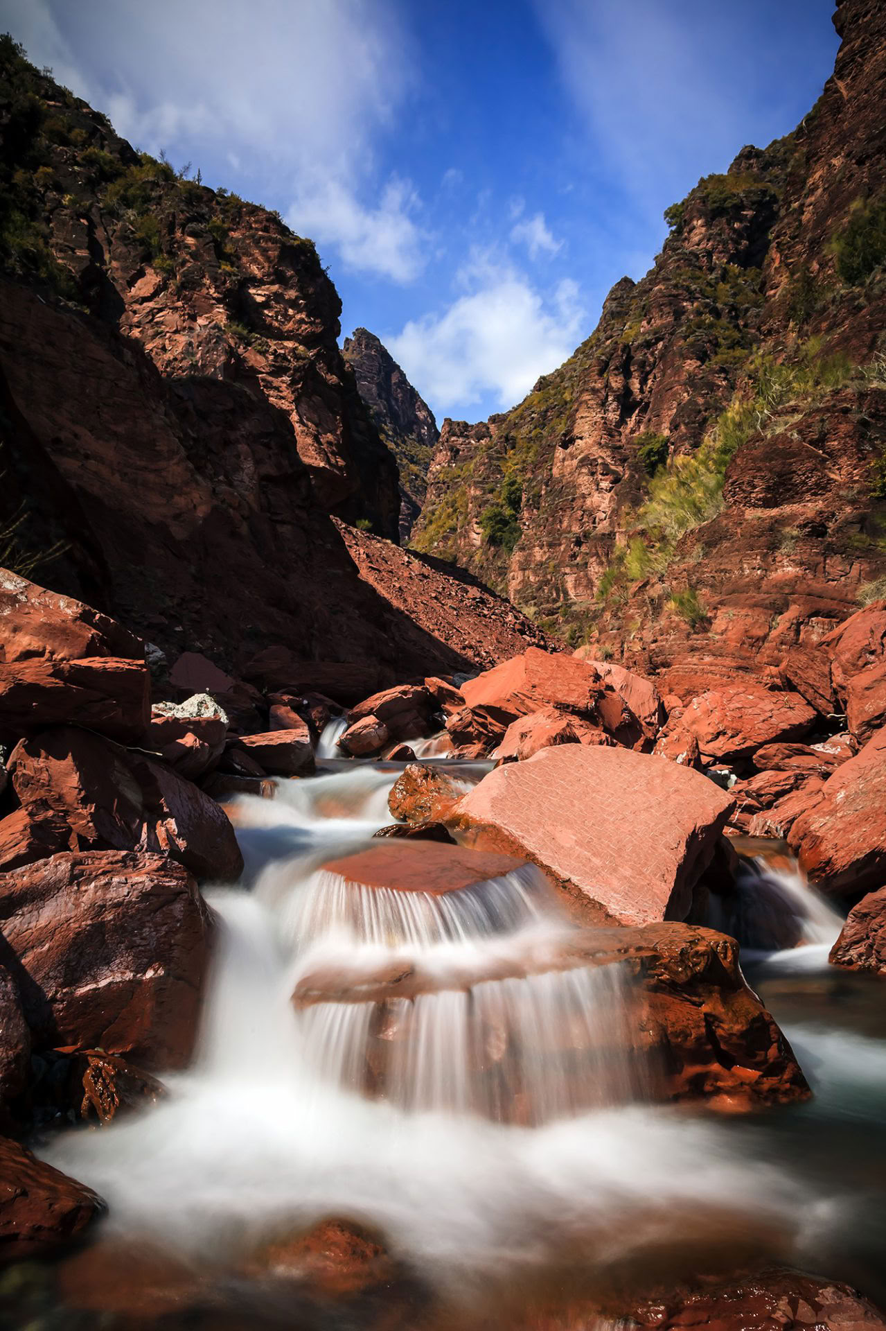
What immediately catches the eye is the spectacular red colour of the rocks. They are largely composed of red pelites dating back to the Permian period, more than 250 million years ago. Their distinctive colour is mainly due to the presence of iron oxides.
In places, the contrast is striking: green vegetation clings to the slopes, while the cliffs range from deep red to ochre and almost purple, depending on the light.
The D28 departmental road gradually climbs through the gorges. At first, the landscape remains relatively open, but the rock walls gradually draw closer together until they form an extremely narrow canyon.
The route generally passes first through the Petites Gorges du Cians (Lower Cians Gorges) and then through the even more impressive Grandes Gorges du Cians (Upper Cians Gorges). In the narrowest sections, the cliffs almost seem to close in above the river.
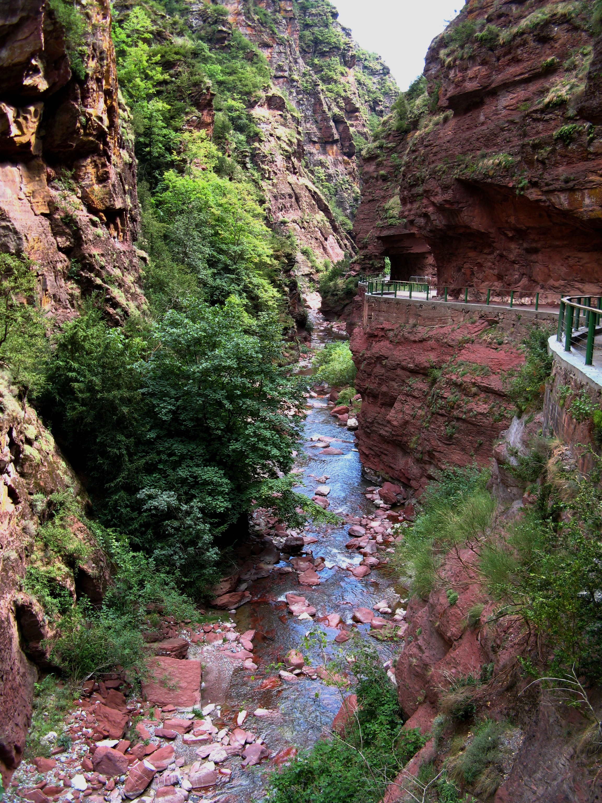
The old road included several sections carved directly into the cliff face. Today, traffic uses more modern tunnels, but some sections of the former route, when accessible, offer a much closer view of the river and the vertiginous rock walls.
An Extraordinary Old Road: La Petite Clue and La Grande Clue
One of the most interesting features of these two stops is the opportunity to discover two sections of the old road.
Before the present-day tunnel was built, vehicles travelled along a passage carved directly into the cliff face, just a few metres above the Cians. The road was particularly narrow, and passing oncoming vehicles could be very difficult. The modern tunnels were later built to divert traffic away from these most challenging sections.
But to truly appreciate the site, the best thing to do is to leave the car behind for a while.
Stop at La Petite Clue and La Grande Clue, two sections of the old road carved directly into the cliff face. Stretching for several hundred metres, they are now closed to traffic.
You can walk along the old road between the rock face and the sheer drop, with the Cians roaring below. In places, the rock almost seems to form a natural arch above the former roadway.
It is also here that you truly begin to appreciate the enormous amount of work involved in building the original road: some sections seem to have been literally hewn out of the mountain.
A local tourist guide describes La Grande Clue as the more impressive of the two stops and mentions a short walk along the old road, covering approximately 500 metres there and back.
A Little Tip:
Don't simply drive through La Grande Clue. If you only take the D28 tunnel, you will miss one of the most impressive parts of the gorges.
When conditions and the signs on site allow access to the old road, park nearby and explore this section on foot. Just a few dozen minutes are enough to enjoy the canyon at a leisurely pace, observe the different layers of rock and take some beautiful photographs.
Be sure to pay attention to any access restrictions: the rock faces are steep and the rock can be unstable, particularly after heavy rainfall or during periods of freezing weather.
As you continue towards Beuil, the scenery gradually changes. The narrow gorges slowly give way to a more open mountain landscape, with forests and alpine meadows.
Next stop: Valberg, a pleasant place to take a break in the mountains.
After travelling through the spectacular scenery of the Cians Gorges, the road continues to climb towards Valberg, a peaceful mountain resort situated at an altitude of around 1,700 metres, between the Cians and Var valleys and at the gateway to the Mercantour. Established in 1936, Valberg is one of the oldest winter sports resorts in the Alpes-Maritimes.
Take advantage of your stop in Valberg to have lunch. There is no need to set off again immediately after your meal: take some time for a short stroll through the centre of the resort or around the main square before getting back in the car.
You can then continue towards Guillaumes, which marks the beginning of the second major stage of this scenic loop:
the impressive Daluis Gorges and their immense red pelite cliffs, nicknamed the “Nice Colorado”.
An Easy Walk Between the Village of Guillaumes and the Pont de la Mariée
This is a particularly enjoyable walk to include in your itinerary if you have enough time, as it allows you to reach the Pont de la Mariée on foot from Guillaumes, while following part of the route of the former Haut-Var tramway.
Following in the Footsteps of the Old Guillaumes Tramway
From the village of Guillaumes, a pleasant walk takes you along the route of the former tramway that once connected Guillaumes with Pont-de-Gueydan. The official route is approximately 8 km round trip, taking around 2 hours on foot, with very little elevation gain — less than 100 metres according to the itinerary currently presented by the municipality.
The walk begins at the Pont des Roberts, just before the entrance to the village of Guillaumes. After carefully crossing the road, you join the former tramway route on the left bank of the Var River. Along the way, several information panels tell the story of this remarkable mountain tramway.
Walking Through the Old Tunnels
This is probably the most enjoyable part of the walk.
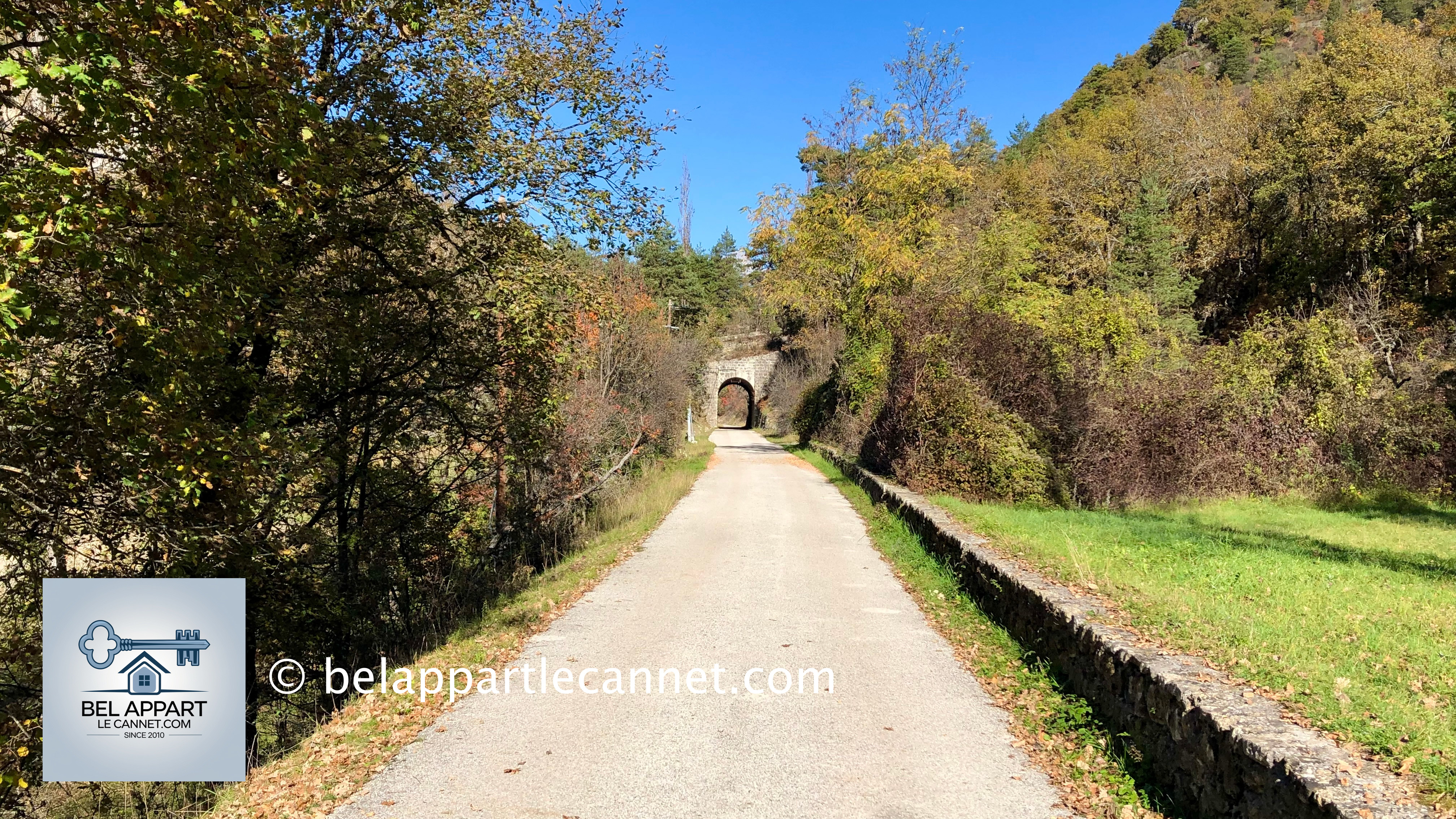
For approximately 2 kilometres, the path follows the original railway trackbed. The route is almost completely flat, which is hardly surprising considering that it was once used by the tramway.
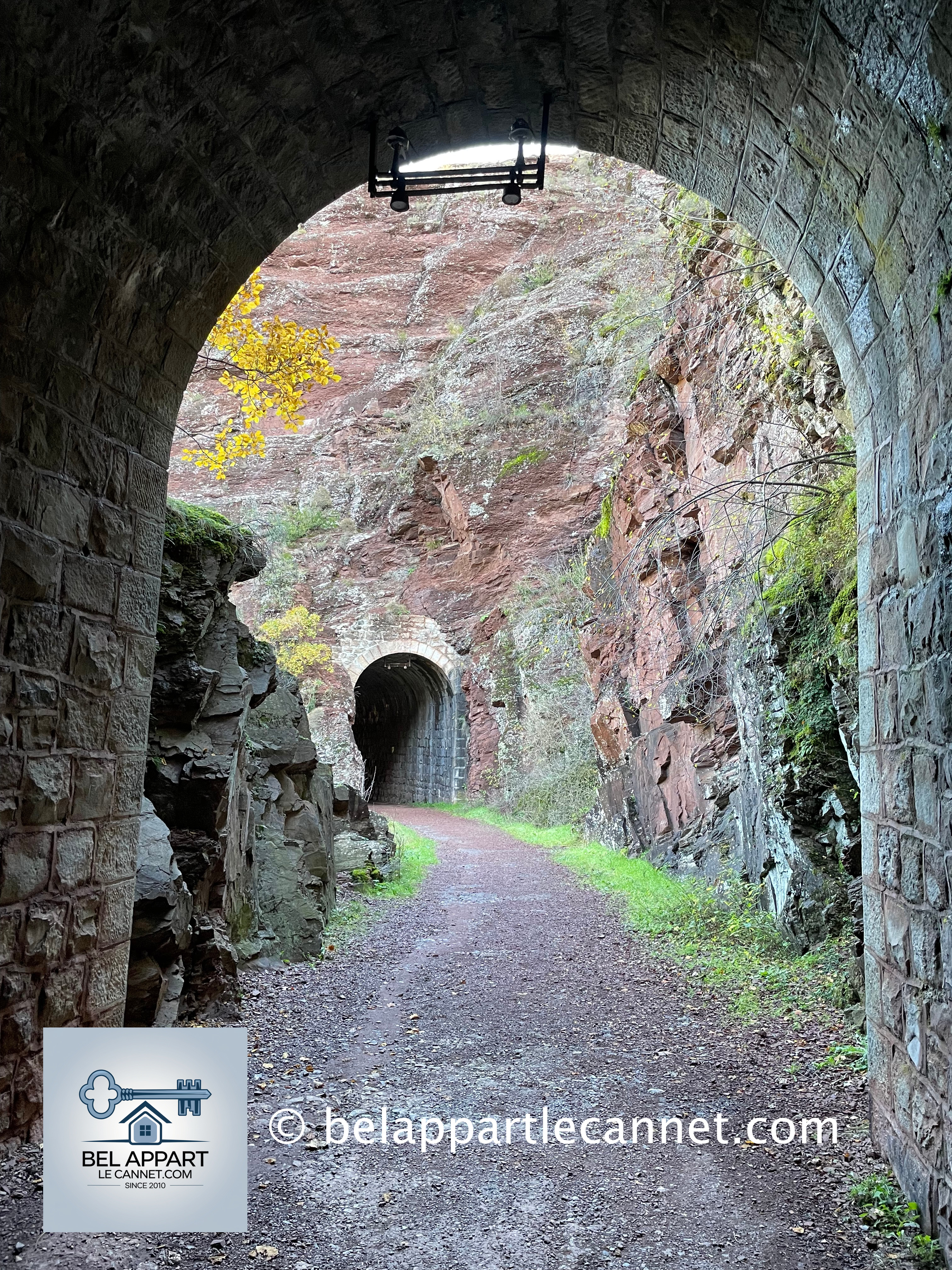
Along the way, you pass through several small tunnels carved into the mountainside. An old walking guide published by the municipality mentions four tunnels along this section.
As you continue, the landscape gradually begins to change.
The first red pelite cliffs start to appear, announcing the entrance to the Daluis Gorges. The contrast between the vegetation, the Var River below and the deep red rock becomes particularly beautiful.
As you walk through these small tunnels, it is quite fascinating to imagine that, a century ago, an electric tram travelled along this very same route before reaching the end of its journey in Guillaumes.
After passing through one final tunnel, the spectacular Pont de la Mariée suddenly comes into view.
Arriving at the Pont de la Mariée
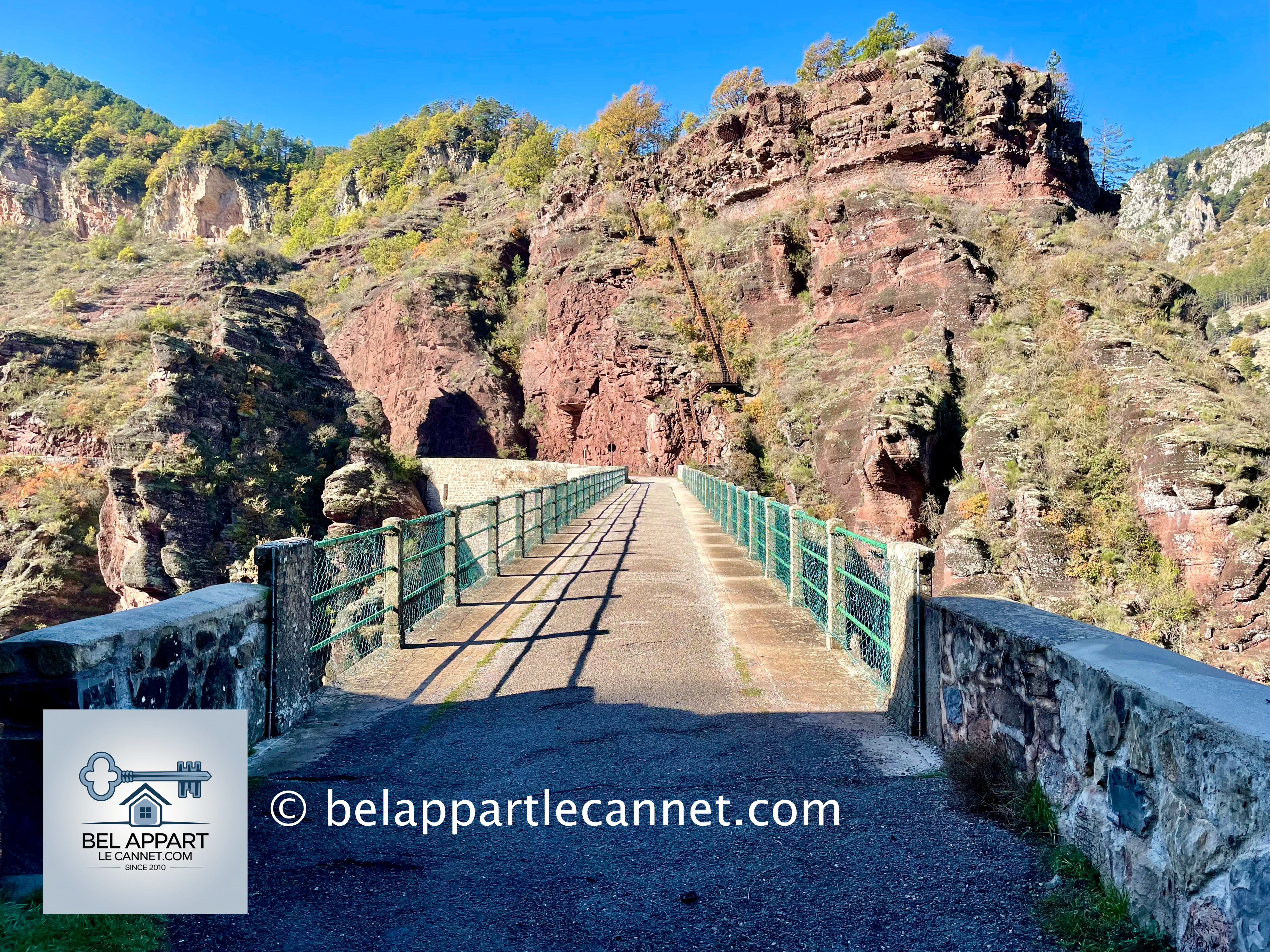
The bridge itself is closely linked to the history of the tramway, as it was originally built for the line.
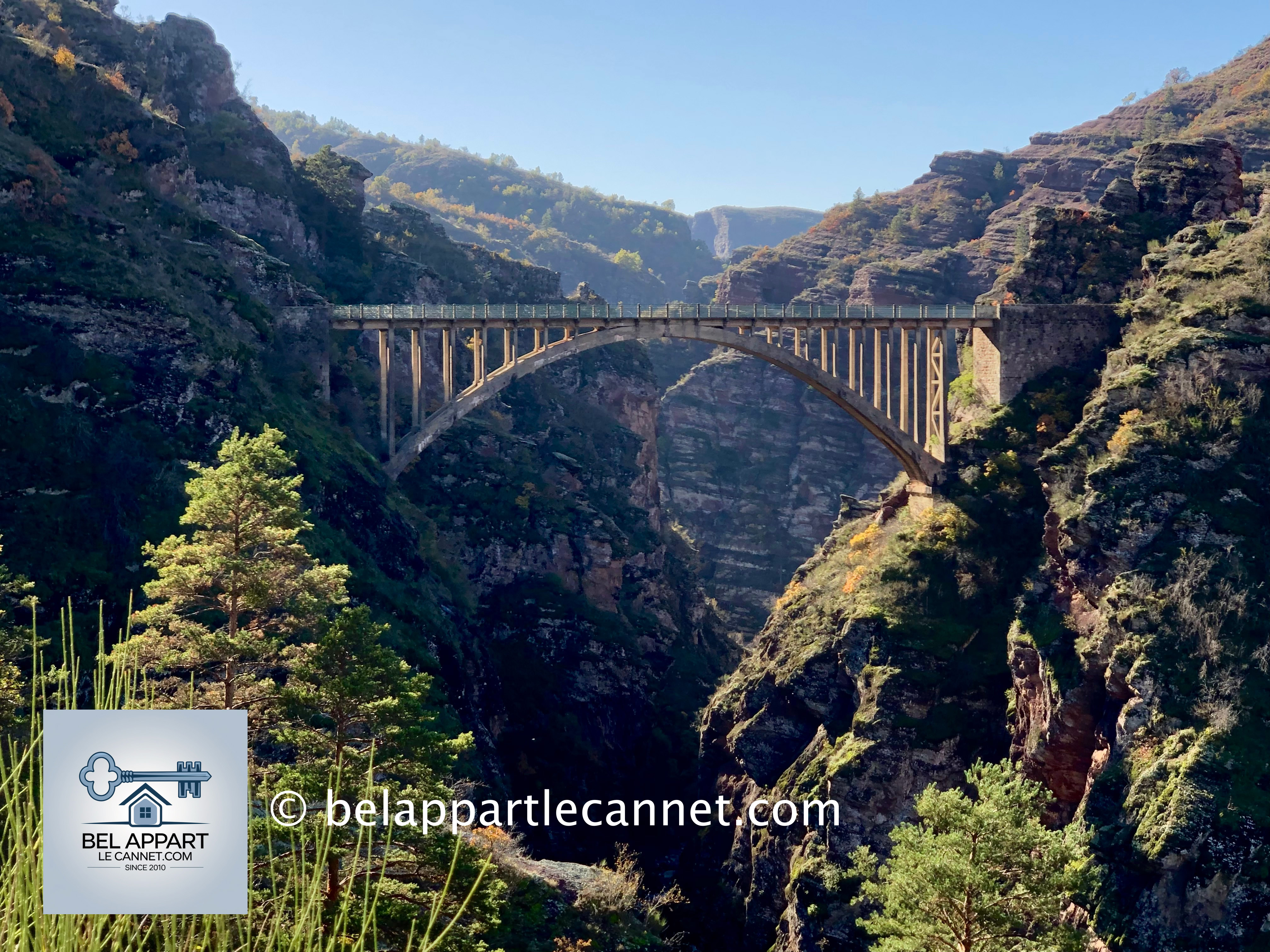
Originally known as the “Pont du Tramway” or the “Viaduc des Clues”, this impressive reinforced-concrete structure allowed the tramway to cross the Var River from one bank to the other. Its arch spans approximately 58 metres, and the bridge towers around 80 metres above the bottom of the gorge.
It was only after the famous tragedy of 1927, mentioned earlier, that the bridge gradually became known as the Pont de la Mariée — the Bride’s Bridge.
On the other side of the bridge, a metal staircase allows you to climb higher and reach a viewpoint overlooking the bridge. The ascent is a little more strenuous than the rest of the walk, but the view over the bridge, the Var River and the first red cliffs of the gorges is remarkable.
The Story of the Railway Through the Heart of the Mountains
Today, it is difficult to imagine a tramway running through such a landscape, and yet the line was inaugurated in 1923.
Approximately 19 kilometres long, it connected Guillaumes with Pont-de-Gueydan, where passengers could transfer to the Train des Pignes railway line. Construction had begun as early as 1910, but the First World War considerably delayed the work.
Building a railway through the Daluis Gorges was a considerable challenge. Numerous tunnels had to be excavated and several engineering structures had to be built.
Unfortunately, the adventure was short-lived. The line was expensive to maintain and was regularly threatened by rockfalls. It ceased operating in 1929, just six years after it opened.
On the way back, Entrevaux is also well worth a proper visit, with its fortified old town and citadel overlooking the valley.
A Little Tip:
Allow a full day for this excursion rather than treating it as a simple drive. The distances are not particularly long, but the roads are winding, and it would be a shame to travel through the gorges without stopping at the various viewpoints
along the way.
The morning and late afternoon are particularly good times for photography: when the sun is lower in the sky, the landscape becomes more dramatic and the red cliffs take on magnificent shades of colour.
You should also drive carefully. Some sections of the road are narrow, the tunnels can be dark, and cyclists and motorcyclists are frequently encountered during the summer.
Finally, always check road conditions before setting off. In this mountainous environment, roadworks, rockfalls or bad weather can occasionally lead to traffic restrictions.
Have a safe journey!
How to Get to the Red Gorges
By car (88 km – 1 hr 30 min) – The circular route (227 km)
Link for more information: www.provence-alpes-cotedazur.com
Ce site web utilise les cookies. Veuillez consulter notre politique de confidentialité pour plus de détails.